It’s a bird, it’s a plane, it’s a UAV?
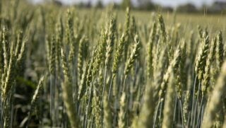
UAVs, otherwise known as unmanned aerial vehicles, are flying over corn fields around Columbia, Missouri and it’s all in the name of science. A Missouri University of Science and Technology researcher and his team are using UAVs to study how crops respond to climate change and drought.
“There are benefits for producers and consumers,” said Dr. Simone Silvestri, assistant professor of computer science at Missouri S&T. “Because of climate change, less water can mean lower production, which in turn drives up prices because of scarcity demand.”
Silvestri and his team are using UAVs to study a corn field from first planting until harvest. The project helps map naturally occurring modifications of plants’ DNA to robust crops that weather dry conditions and ward off parasites.
The UAVs are equipped with several types of cameras, such as RGB (red, green and blue), hyperspectral and thermal, which allow the team to gather a variety of information on several crop features such as plant growth, health, and water stress. Simone and his team define high-level missions though a web application, which include the field to be monitored, the altitude at which pictures should be taken, and the frequency.
The work is funded through a National Science Foundation Experimental Program to Stimulate Competitive Research (EPSCoR) for $71,055.