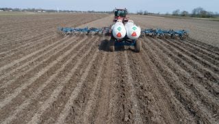
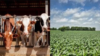
Backed by the largest private constellation of satellites in the world, digital-agriculture company Farmers Edge has begun offering its imagery and mapping technology for specialty crops, in hopes to help meet the evolving needs of growers worldwide. The FarmCommand technology integrates four imagery-derived map layers (NDVI, Scouting, Variation, and Health Change Maps), cloud filtering technology, and field-centric weather for growers to accurately identify, predict, and respond to issues before yield is impacted.
Using rapid data processing, high-resolution imagery is transformed within 48 hours, significantly faster than the average turnaround time of seven to 10 days seen elsewhere in the industry, and with enough clarity to zero in on individual trees, or specific areas of a field so corrective action can be taken at the first sign of a problem. Advanced cloud filtering eliminates false reports of crop issues, preventing needless scouting on fields that do not require it. These advances build on the expertise Farmers Edge has developed since bringing daily satellite imagery to agriculture in 2017.
Adding a layer of efficiency, growers have access to an exclusive suite of digital tools to optimize crop production and increase the profitability of their farm, including:
- field-centric forecasted, current, and historical conditions powered by on-farm weather stations;
- automatic Crop Health Change Notifications to automatically detect and alert growers of changes in their fields that may impact yield, including: pests, diseases, nutrient deficiencies, irrigation irregularities, equipment malfunctions, and more;
- live equipment and fleet tracking;
- predictive crop growth stage models.
This technology is available now.