TerrAvion introduces rangeland aerial imaging
AGDAILY Staff ·
September 30, 2016
Before sending your cattle out to pasture, you can now get a panoramic view of your rangeland. TerrAvion has launched the first aerial imaging solution specifically designed for rangeland.
Every week, TerrAvion takes hundreds of low-altitude flights to capture bird’s-eye views of their customer farms, and then uploads the images to the cloud within hours so ranchers and growers can plan scouting, management activities and interventions with unprecedented accuracy.
Not familiar with TerrAvion aerial imaging? Check out this video that shows how the service has helped Francis Ford Coppola Winery in California meet production goals despite labor and water shortages.
More latest videos
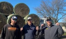
Peterson Bros. give ‘All Star’ hype to farmers with Smash Mouth parody
 0:14
0:14
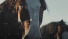
Budweiser’s Clydesdales are back for Super Bowl LVIII
 2:19
2:19
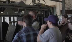
Reality or rhetoric? ‘Feeding Tomorrow’ food and agriculture film to debut
 1:29
1:29


