Thermal imaging drone helps to locate missing cattle in corn
The phone rings and it is your neighbor with some bad news — the cows are out. Sigh. Even worse, the neighbor says they last saw the cows head into the corn field that just tasseled. That means 9-foot tall corn that you can’t see over. Wouldn’t it be nice to have a piece of technology that would help with this potentially dangerous job? How about a thermal imaging drone to help locate the cattle safely and quickly.
“It’s not always smooth and cinematic, sometimes it’s down and dirty! Like when you are searching for missing livestock in the middle of an seven foot tall 200 acre corn field. The use of a thermal imaging sensor allowed the search for these cattle to be cut down to almost nothing with them being spotted only 10 minutes after deployment. Let us help you find your missing livestock today!” said AV8 Droneworx.
More latest videos
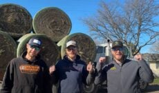
Peterson Bros. give ‘All Star’ hype to farmers with Smash Mouth parody
 0:14
0:14
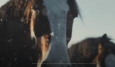
Budweiser’s Clydesdales are back for Super Bowl LVIII
 2:19
2:19
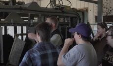
Reality or rhetoric? ‘Feeding Tomorrow’ food and agriculture film to debut
 1:29
1:29


